geography:maps:malinowski_collection_of_maps_of_poland:cary_john._poland_and_the_grand_duchy_of_lithuania_1799
Cary, John. Poland and The Grand Duchy of Lithuania, 1799.
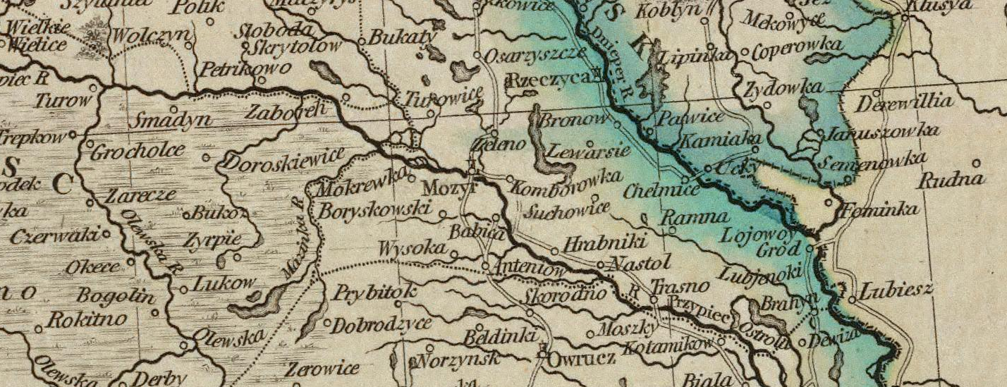
“A new map of Poland, and the Grand Duchy of Lithuania, shewing their dismemberments and divisions between Austria, Russia and Prussia, in 1772, 1793 & 1795, from the latest authorities.” By John Cary, engraver, 1799. London: Printed for J. Cary, Engraver & Map-seller, No. 181, Strand, Aug. 1st., 1799.
Available from:
Notes
The map shows Rechitsa (indicated by a Star of David?) but does not show Yurevichi.
geography/maps/malinowski_collection_of_maps_of_poland/cary_john._poland_and_the_grand_duchy_of_lithuania_1799.txt · Last modified: 2023/03/04 21:57 by 127.0.0.1