geography:maps:malinowski_collection_of_maps_of_poland:cary_john._poland_and_the_grand_duchy_of_lithuania_1799
This is an old revision of the document!
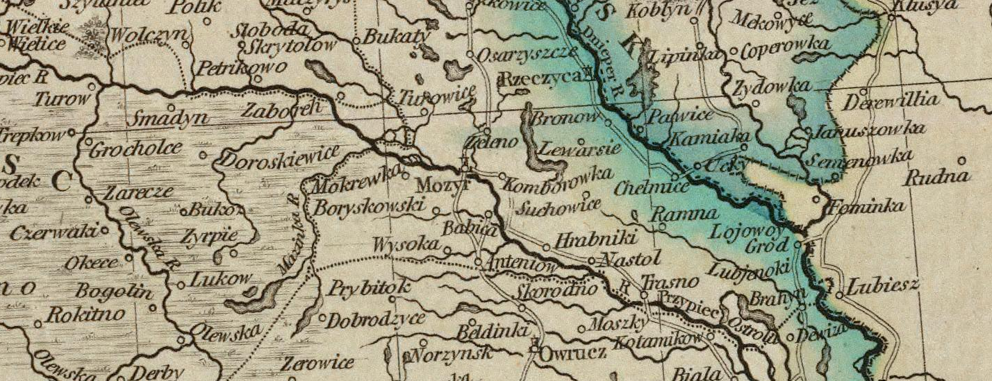
Cary, John. Poland and The Grand Duchy of Lithuania, 1799.
“A new map of Poland, and the Grand Duchy of Lithuania, shewing their dismemberments and divisions between Austria, Russia and Prussia, in 1772, 1793 & 1795, from the latest authorities.” By John Cary, engraver, 1799. London: Printed for J. Cary, Engraver & Map-seller, No. 181, Strand, Aug. 1st., 1799.
Available from:
geography/maps/malinowski_collection_of_maps_of_poland/cary_john._poland_and_the_grand_duchy_of_lithuania_1799.1383621263.txt.gz · Last modified: 2023/03/04 21:57 (external edit)